

A small dedicated group from CKC took the opportunity to paddle around Selsey Bill, on the south coast in August 2021. Selsey Bill is familiar from the shipping forecast (where it gets mentioned as part of the inshore waters forecast towards the end of the forecast). We had assumed that the land poking out into the sea was Selsey Bill, but surprised to find that the mainland is called Selsey and Selsey Bill is actually the headland off the end of Selsey that is covered in water at high tide.
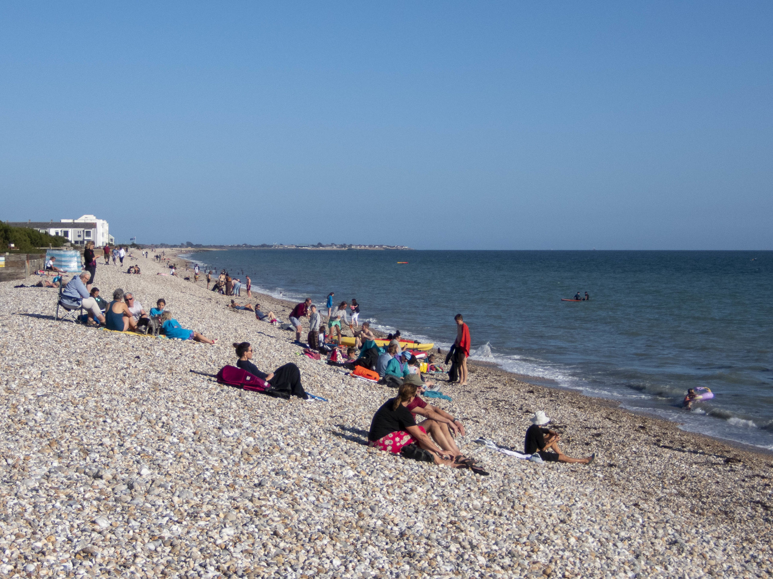
So to start our exploration of Selsey Bill we park further West at Bracklesham Beach close to ‘Billy’s on the Beach’ café, next to a pay and display car park right on the beach. The trip has been planned to launch at low water to avoid the sometimes dumping surf on the pebble beach, and with a low water and a gentle slope it is an easy launch. The main hazard being paddling through swimmers and body boarders to the open sea.
Looking back we can see that a flagpole has a British flag flying and that will be our reference point for the return. Once in the open sea, wind is as forecasted at F3-4 with 0.5m waves every 5 seconds, until we reach Selsey Bill.
We head East and as we get closer to Selsey a windmill is visible on shore. As we get closer still, the water becomes turbulent as we cross a shallow bank. Approaching the bill, about an hour after low water, we can still see a submerged pebble bank with seagulls on it marking Selsey Bill.
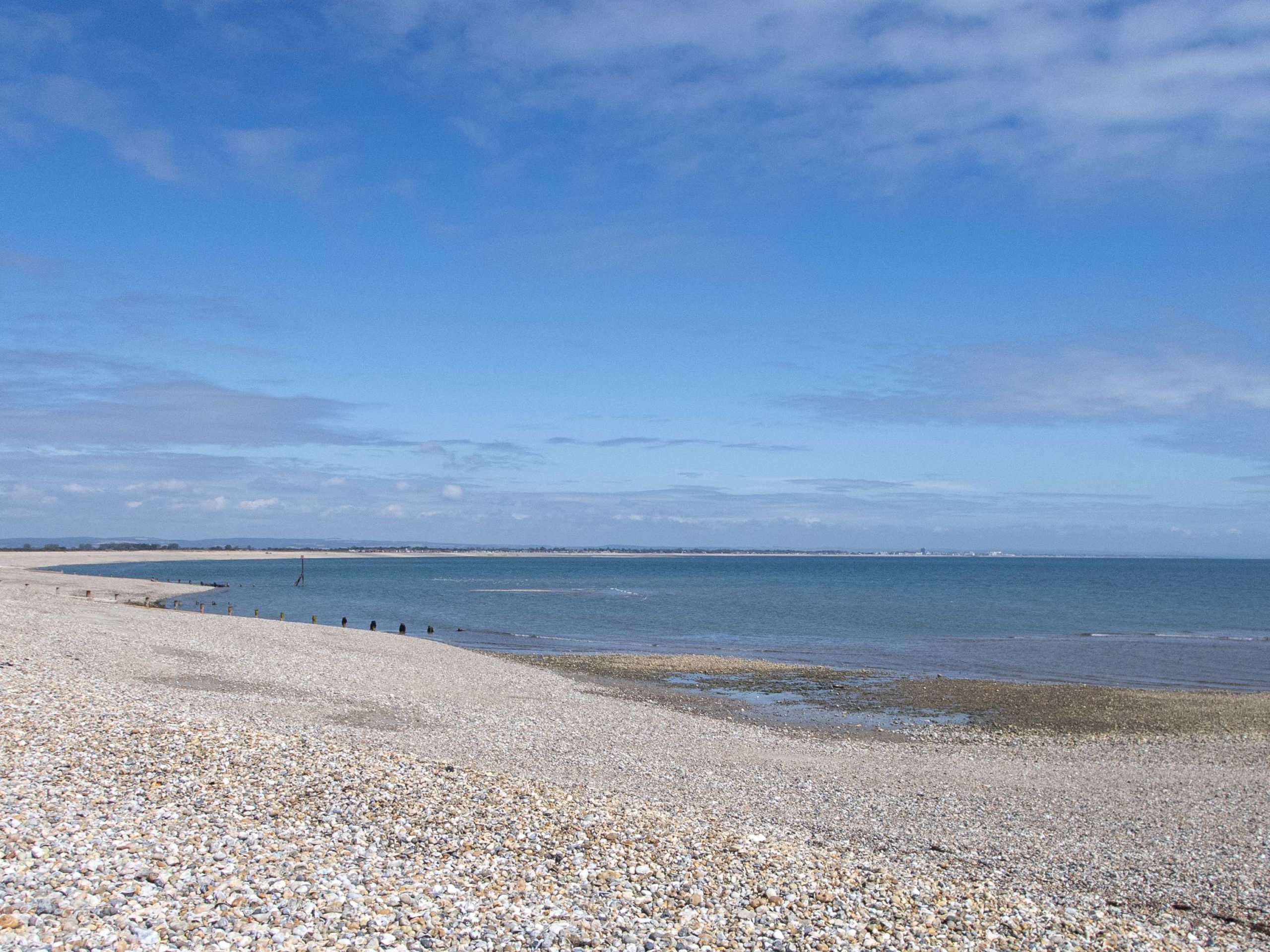
Paddling around this and heading into Sussex Bay the wind drops and the water becomes much flatter. The sun also appears and the clouds disappear. It seems that the East side of Selsey Bill has completely different weather to the West side. So it starts to make sense that Selsey Bill is used as a boundary for two areas of the Met Office’s inshore water forecast. Stopping for a tea break on the pebbles along from Selsey, the water becomes very clear, shallow and warm, the sky is clear and blue. A banana with the tea gives the location a secluded tropical feel.
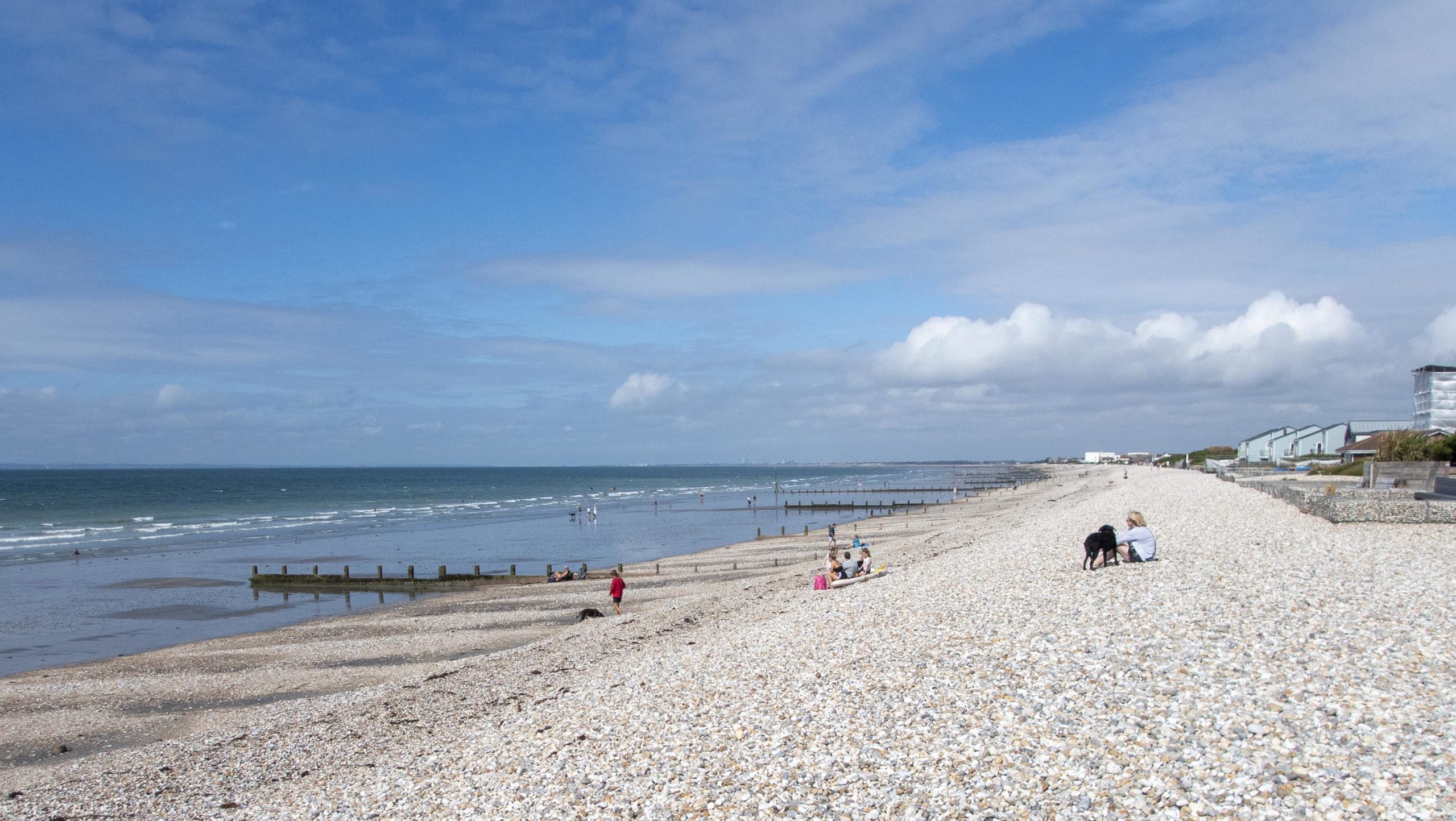
After a pleasant tea break it was a straight paddle across Sussex Bay to Aldwick close to Bognor Regis. Although it is difficult to distinguish any features from distance along this part of the coast, we had planned lunch to be at the start of the groynes near Bognor Regis. With the good visibility we were easily able to identify the location from a considerable distance.
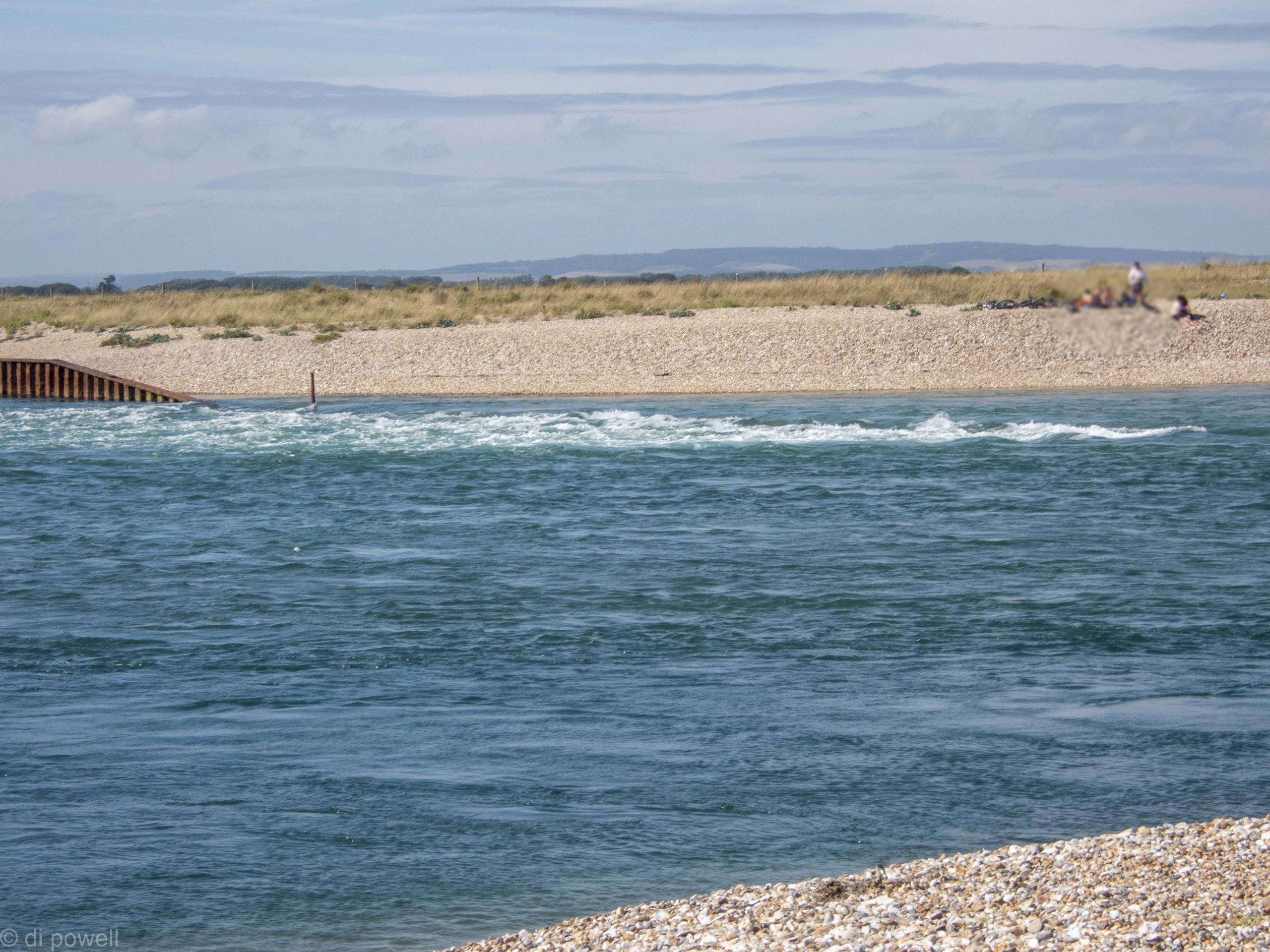
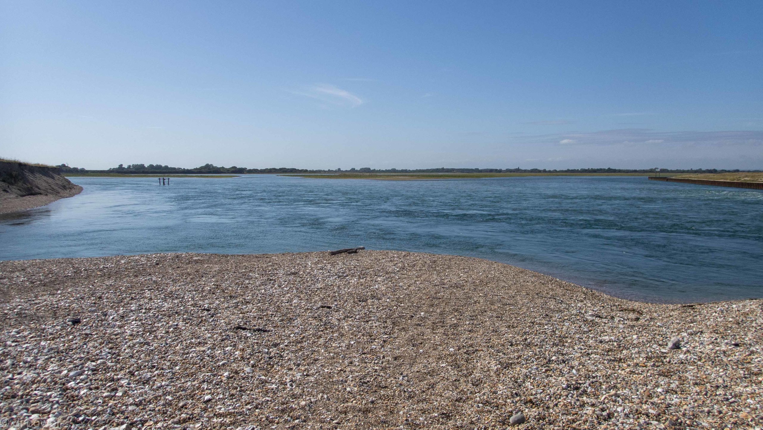
Surprisingly for mid August the pebble beach was virtually deserted. After lunch we head back along the coast with wind F3-4 directly into our faces, looking for the Pagham Harbour entrance. The entrance is difficult to find due to the two parallel sand bars guarding the entrance, but once lined up correctly we slip in easily. Once through the entrance we get pushed really quickly towards the harbour and towards some turbulent water. We had expected calm water in which to explore the harbour, and quickly realise that we won’t be able to get back out for several hours if we continue into Pagham Harbour. A quick change of plan and we try to ferryglide across from one sandbar to the other but don’t make any headway against the flow at all, just going sideways. On the other side we find an eddy and discuss if we should carry the boats over the sandbar or paddle against the flow. Deciding to continue against the flow we slowly creep back to entrance. Paddling around the end of the sandbar at the entrance, the water is so fast that, although we’re paddling fast, we’re not making very much progress and start to slow down until we stop moving forward completely while still paddling at a high rate. We really have to push even harder to to get around the end of the sandbar, but eventually succeed. We land shortly after and walk over the narrow sandbar to have a better look at Pagham Harbour and the entrance.
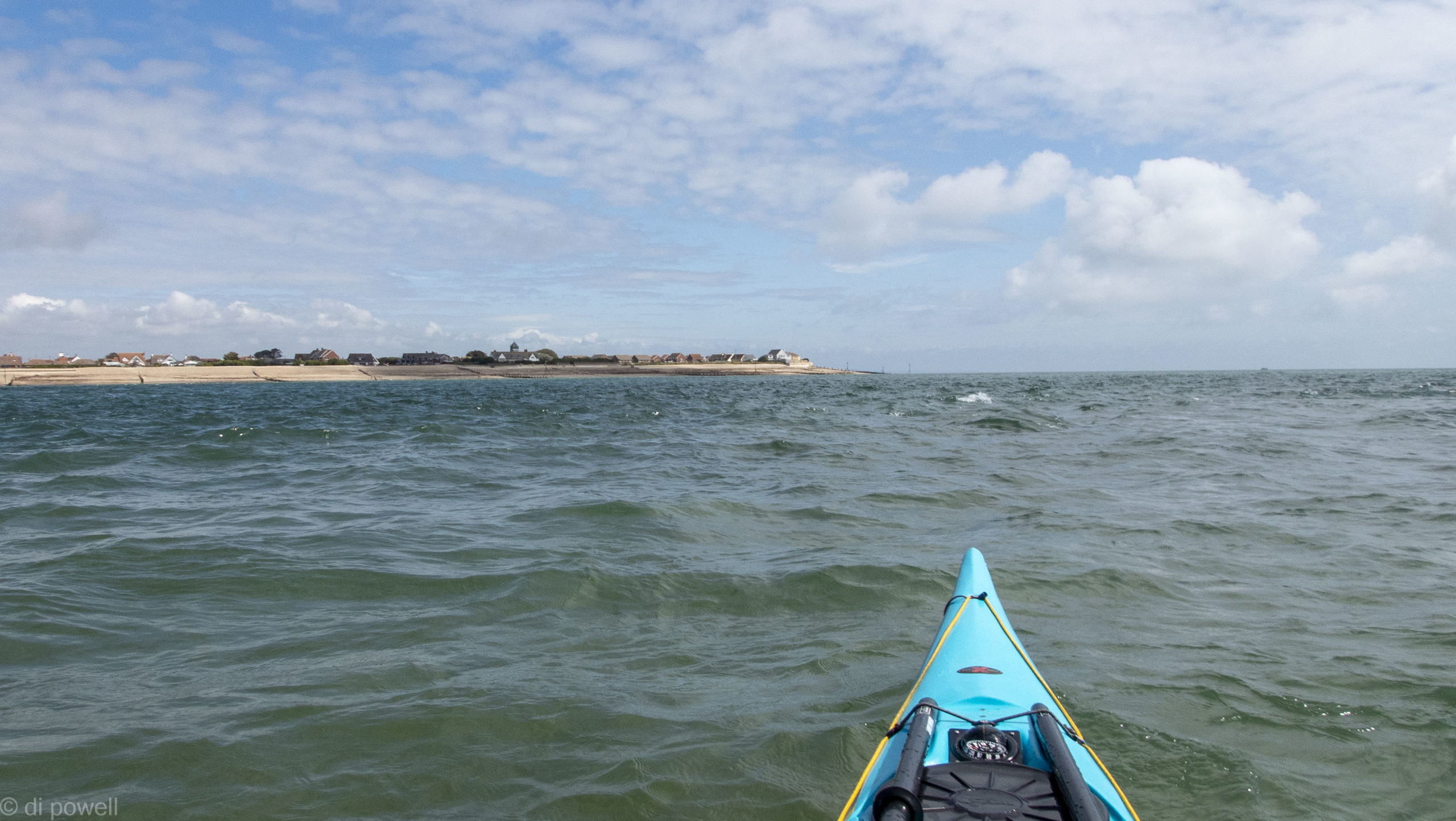
Continuing our journey, and back at Selsey Bill just after High Water we can see that the water flow is completely different to when we were here a few hours ago. The water is moving very fast and forming smooth waves. We ride the rollercoaster through the waves, reaching 6 knots in the process. A few moments later we get spat out on the other side of Selsey Bill and the flow pretty much stops completely. The wind also drops too, to F2.
We paddle for a further hour looking for the British flag and flag pole for our landing point. As planned, we land at high water +1.5hrs to avoid the dumping surf again. A few minutes later the lifeguards take down the flag – we’re back just in time!
Leave a Reply